
Puerto Vallarta map and visitor orientation
Choose the Right Puerto Vallarta Area Before You Book
Use this Puerto Vallarta map to understand the main hotel zones, beaches, airport area, downtown, the Malecón, Romantic Zone, South Shore, and nearby Riviera Nayarit communities before choosing where to stay or how to get around.
AirportPVR is north of the Hotel Zone and close to Marina Vallarta.
DowntownThe Malecón sits along the oceanfront in central Puerto Vallarta.
Romantic ZoneSouth of downtown, close to Los Muertos Beach and the pier.
South ShoreMismaloya and Boca de Tomatlán sit south of town along Highway 200.
Tip: zoom in on the map to reveal more streets, hotels, restaurants, supermarkets, parks, beaches, churches, gas stations, and local landmarks. Start broad for orientation, then zoom into the zone where you plan to stay.
Which Puerto Vallarta area are you looking for?
- Marina Vallarta: close to PVR Airport, golf, marina restaurants, and larger resorts.
- Hotel Zone: beach resorts, shopping, grocery stores, and quick taxi access to downtown.
- Downtown and Malecón: oceanfront walk, sculptures, restaurants, bars, and classic city sightseeing.
- Romantic Zone: Los Muertos Beach, cafés, nightlife, condos, boutique hotels, and walkable dining.
- South Shore: Mismaloya, Boca de Tomatlán, jungle-backed beaches, and water taxi routes.
Use the map with these practical guides
These related guides help turn the map into an actual travel plan: airport arrival, weather timing, zones, webcams, and the main downtown walk.
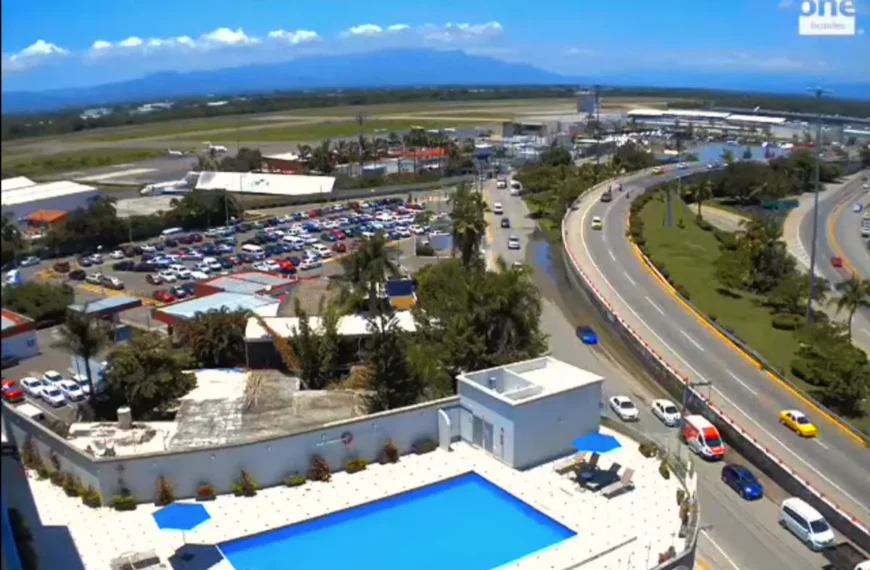
Interactive Puerto Vallarta Live Webcams Map
Interactive map of live webcams across Puerto Vallarta & Banderas Bay. Click live GPS radar pins from La Cruz to the South Shore & preview beach views.
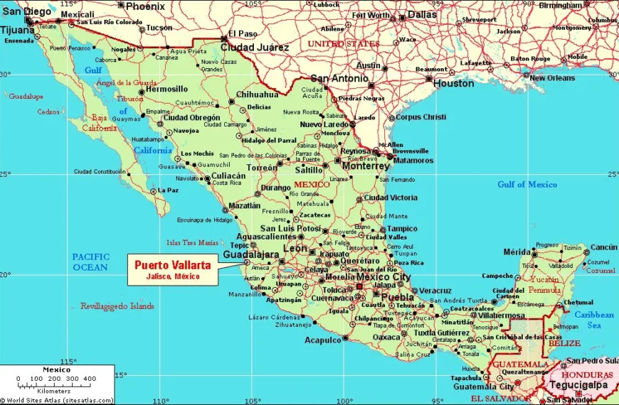
Road Map and Cities of Mexico
Map showing the main roads and cities in Mexico and southern USA and the location of Puerto Vallarta Mexico on the Western Pacific Ocean coast

Puerto Vallarta Zone Map
A map showing the Puerto Vallarta zones, includes North Zone, Nuevo Vallarta, Marina Vallarta, Hotel zone, Downtown Vallarta, Old Vallarta and South zone.

Puerto Vallarta Hotel Maps
A detailed series of maps showing the location of most hotels and resorts in Puerto Vallarta, they are subdivided by zones.

Hotel and Resort Map: Romantic Zone
Between downtown Vallarta on the north side and the South zone you have what is now known as the Romantic Zone or Old Vallarta, a very active part of town.

Puerto Vallarta Beach Map & Beaches In Banderas Bay
A map showing the beaches in and around Puerto Vallarta, includes beaches north into the Riviera Nayarit and south into Cabo Corrientes.

Banderas Bay Map, Beaches And Geographical Features
A map showing the beaches and geographical features in Puerto Vallarta north into the Riviera Nayarit and south into Cabo Corrientes
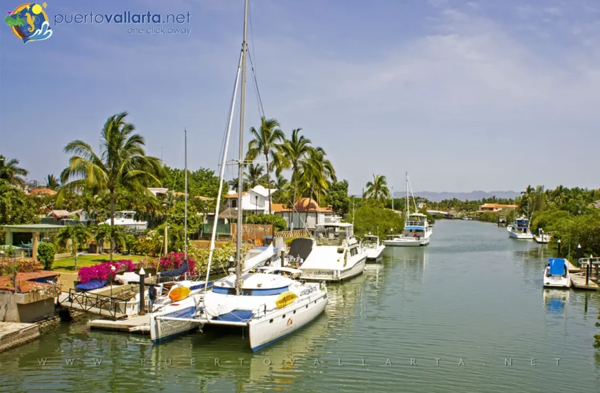
Riviera Nayarit Map
Crossing the Ameca river is where Riviera Nayarit starts, a 200 mile long stretch of coast in the neighbor state Nayarit.
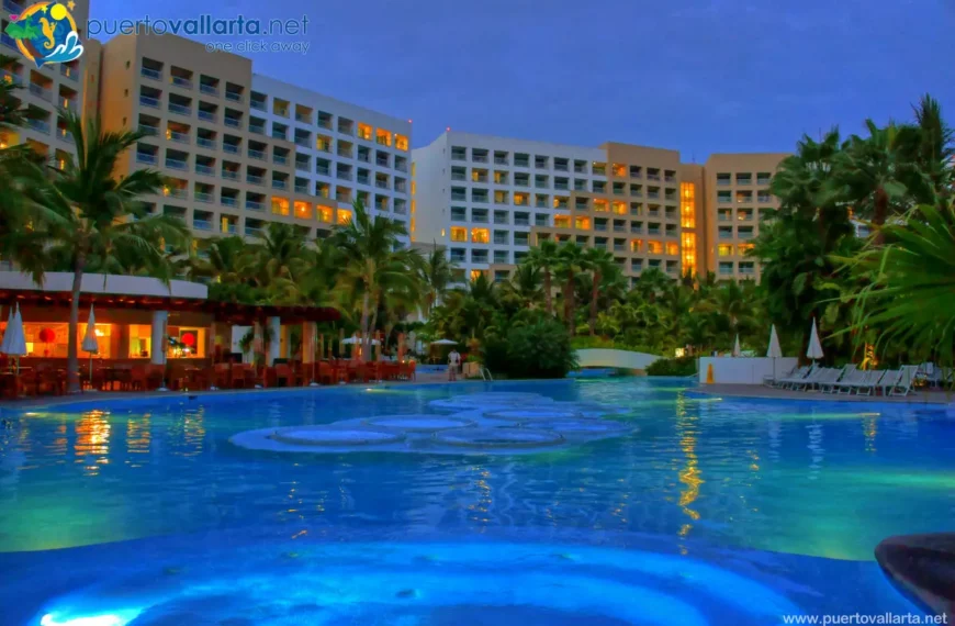
Hotel and Resort Map: Nuevo Vallarta
Most hotels and resorts in Nuevo Vallarta are mostly luxurious, beachside and all-inclusive.

Hotel and Resort Map: Hotel Zone
Between Marina Vallarta and the downtown area is the hotel zone, developed in the late 1970s, with many important hotels, malls & more

Hotel and Resort Map: South Zone
South of the Romantic zone is the South Zone there are many nice beaches, Los Arcos, the Zoo, Bungee, Vallarta Botanical Gardens and more.

Where Do The Wixárika (Huicholes) Live?
The following map shows the area where the Huicholes or Wixárika, a native american culture in México lives.

