


Panorama downtown Puerto Vallarta from the roof of Hotel Suites La Siesta (El Panorama Restaurant)
Puerto Vallarta is on the Pacific Ocean side of Mexico:
- 200 miles (339 km) west of Guadalajara in the State of Jalisco
- 549 miles (885 km) NW of Mexico City
- 177 miles (285 km) NW of Manzanillo
- 277 miles (447 km) SE of Mazatlan.
If nothing rings a bell, then use the map for a better idea. Read much more in the “Where is Puerto Vallarta located?” section or use this map:
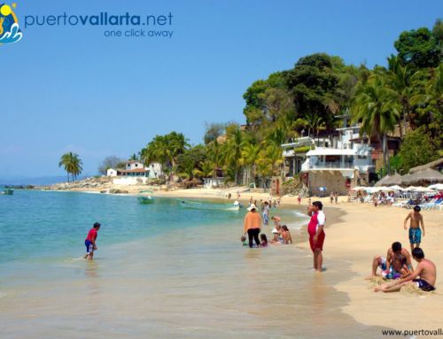
The city is found in a large bay, called Banderas Bay, which is Mexico’s largest natural bay and the second largest in America. The population is around 250 thousand inhabitants with over 4 million visitors each year.
- The city is 3 hours by from Los Angeles by plane, and just over 4.5 from Seattle, Vancouver, Calgary, Chicago, New York & Toronto. More air flight distances.
- Puerto Vallarta is on the same latitude as Hawaii and enjoys nearly perfect weather all year long.
- Situated on the West coast of the state of Jalisco, between latitudes 20°27’00”N and 20°59’00”N & between longitudes 104°55’00”W and 105°33’00”W, 2m (6ft) above sea level.
More detailed information on Puerto Vallarta.
Last Updated on 20/11/2021 by Puerto Vallarta Net


Leave A Comment